Resources

Leica RTC360 Laser Scanner & The Cyclone Software Suite
In the last six months, the requirement for us to provide more detailed land and measured building surveys, with a quicker turnaround time, has grown exponentially. With survey hardware and software constantly evolving, we aimed to refine a new...
Read MoreDrone Survey KILLINGHOLME PORT - NORTH LINCOLNSHIRE
Skymatics complete drone survey of Killingholme Port. The Challenge. Skymatics were tasked to survey Killingholme Port in North Lincolnshire. Providing an up-to-date site wide aerial image and point cloud survey data for future use. The Solution. An extremely busy...
Read More
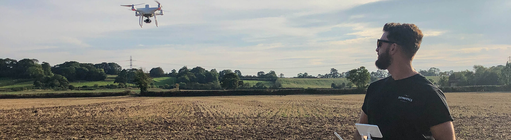
Enhanced Drone Permissions - Skymatics OSC
An OSC (Operational Safety Case) is an extensive document approved by the Civil Aviation Authority that allows Skymatics Remote Pilots to operate their drones beyond the confinements of the majority of most other Drone Operators in the UK. These...
Read More
Drone Surveys - Asset Inspection Hinkley Point C - Somerset
Skymatics were tasked by G4S to complete a series of roof inspections across a number of their assets in the Southwest of the UK. The Challenge. Skymatics were commissioned by G4S – The worlds largest security company – to...
Read More
Aerial Survey & Volume Analysis Hinkley Point C - Somerset
Skymatics recently secured the contract for UAV stockpile surveys for KeirBam at Hinkley Point C – a new nuclear power station currently under construction in the Southwest. The Challenge. This is an on-going project between Skymatics and KierBam at...
Read More")
Renewed PfCO (Permission for Commerical Operations)
Skymatics are excited to announce that we have been issued with our renewed PfCO (Permission for Commerical Operations). If you’re new to the world of drones you might be asking just what is a PfCO? A PfCO is essentially...
Read More
Feasibility Survey Cromhall Church - Bristol
Skymatics undertake feasibility survey to help church provide sustainable energy. The Challenge. Skymatics were asked if it would be possible to provide an accurate aerial survey of the roof of a church, nestled in the countryside of the tranquil...
Read More