Drone Survey
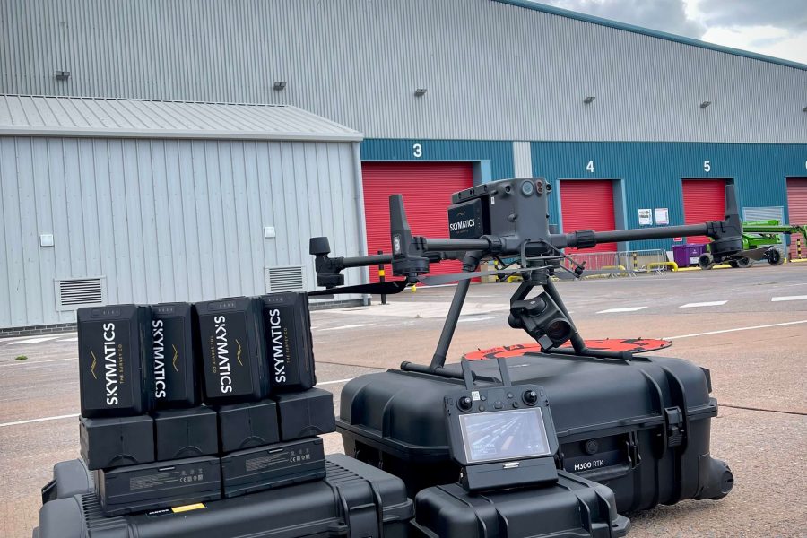
Our state of the art drones can capture thousands of geotagged images over hundreds of acres in a matter of hours whilst providing survey grade accuracies. This not only significantly reduces time by comparison with traditional survey methods, but also removes any boots-on-ground in potentially hazardous sites.
Loaded with a proprietary high-resolution calibrated camera, survey grade RTK image geotagging capabilities, advanced data acquisition software, Skymatics drone fleet is purpose selected for survey-grade mapping missions and will undoubtedly capture exponentially more data than a traditional survey, processing millions of pixels into points creating extremely detailed surveys in a number of CAD formats if required.
Our expertise have helped deliver numerous highly accurate aerial surveys consisting of orthomosiac and point cloud data to some of the biggest construction projects in the UK, Hinkley Point C and HS2.
Our workflows and deliverables have already been championed by our clients at a national drone conference.
We are licensed by the Civil Aviation Authority (CAA) with an Operational Authorisation, relevant insurances and CAA Exemption for operation in some restricted airspaces.


