3d virtual tours - Reality Capture

Reality Capture

Reality Capture is the process of scanning and capturing any environment, for example, properties, heritage sites, or tunnels, in a 3D digital model, combining measurements and imagery. The resulting model can be used for visualisation, design and comparison purposes, to ensure site safety in risky environments or even as evidence in a criminal case, accurately capturing every detail with incredible efficiency.

Our solutions combine technical operation with portability and speed to deliver high levels of automation and the ability to create 3D environments that usually takes the form of a coloured point cloud or textured mesh surface in a matter of hours.

This model can then be used for testing new designs, analysing results and optimising operation — seamlessly transitioning from the real world to the virtual one and back again.

Reality Capture Services

Skymatics Spinning

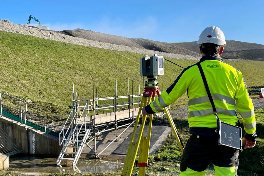
Laser Scanning

A laser scan survey is a fast and accurate way of capturing the spatial detail of an existing space in 3D. Skymatics use high tech HD laser scanners to capture this information.

Skymatics Spinning

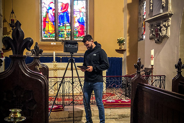
3D Virtual Tours

Using a Matterport camera or laser scanner, we can scan, process and present your virtual space as a dimensionally accurate 3D model that can be viewed and shared on any browser.

Skymatics Spinning

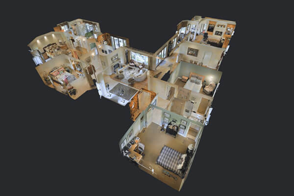
Measured Bulding Survey

We deliver both efficiency and accuracy when completing our Measured Building Surveys. Providing a complete product that covers all of the structural and architectural elements of the required survey.

Skymatics Spinning

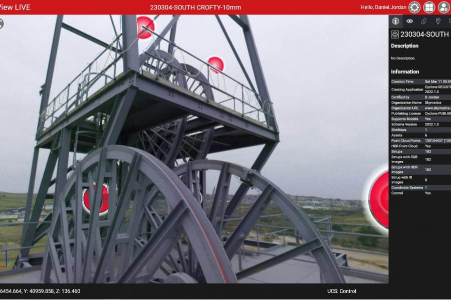
Interactive Models

Annotate features of your digital reality data by placing tags anywhere, such as notes, additional videos, photos and even accurate measurements. Help guide your viewers to what they need to see.

IMG 8608 900x600 - Reality Capture

Laser Scanning

Laser Scanning surveys allow us to capture high quality data, but in an incredibly efficient manner. Skymatics utilise Laser Scanning as an effective method of rapidly capturing topographic and as-built information.

Laser Scanning has become one of the most used surveying practices across the industry. It offers significant advantages over traditional methods because a scanner has the capability of accurately measuring millions of points in seconds creating comprehensive data sets in any weather conditions.

From the resulting point cloud we then have the ability to create a multitude of deliverables to the clients specification from a single survey.  We believe it’s always better to capture too much data, and an effective Laser Scanning survey will never result in missing information or time wasting site revisits.

3d virtual tours virtual tours - Reality Capture

3D Virtual Tours

Generate beautiful video tours that accentuate the attributes of your space.

With our fully Immersive 3D virtual tours we want our clients to change the way that their customers experience their spaces and products. The technology we provide creates an interactive experience, allowing prospective buyers to visit and explore virtual spaces.

This accessible exciting engagement puts you ahead of the competitors.

There is no better way to share the space that you as a client are proud of. Let your customers take their own fully immersive virtual tour.

3d virtual tours doll house model floorplans - Reality Capture

Measured Bulding Survey

A measured building survey will provide a highly detailed and accurate representation of all the necessary elements of a structure. These can be required for redevelopment projects, planning permissions, as built surveys, the use-case is extensive.

We can deliver the final product in both 2D and 3D formats. We also have the capability to share our point-cloud data on accessible online platforms to provide remote access for different teams to ensure better collaboration without having to compromise data-rich surveys being stripped to minimal information for easy file sharing.

Cyclone Enterprise 02 900x600 - Reality Capture

Interactive Models

Whether you’re an estate agent, construction agent, architect, engineer, retail manager, travel and hospitality agent, insurance broker or restoration team, imagine the benefits of smarter collaboration; space planning and room utilisation within a 3D interactive model.

Measure any wall, door, window, or item within the space. You’ll be able to see if a piece of furniture or equipment will fit through doors, hallways, etc.

Annotate features of the space by placing tags anywhere, such as notes, videos, and photos. Help guide viewers to what they need to see