IMG 6387 2000x550 - About

About Skymatics

Established with a primary focus to endorse and embrace digital technology to our clients. Our objective is to become the catalyst in efficiently capturing, processing and delivering meaningful data.

In every circumstance we wish to provide an exceptional deliverable, whilst minimising risk to operatives and capturing quality data in potentially hazardous environments. Effectively making each operation safer and more cost efficient. Let us help digitise your next project.

As a team, we have decades of experience in the architecture, engineering and construction industry, specialising in engineering surveying and digital construction. We see the future for any business sector being led by immersive technology.

Meet The Team

IMG 6655 900x600 - About

Daniel – Operations Manager

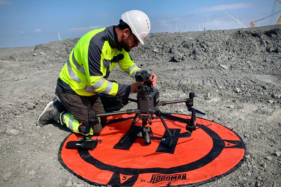
Starting his career in the construction industry in 2007, Daniel has continued to establish and expand his abilities in geomatics. Formerly specialising in Engineering Surveying and working on some of the largest and complex projects in the south west. Daniel is Skymatics Unmanned Aircraft Systems (UAS) Accountable Manager and accredited Level 5 Commercial Drone Chief Pilot. He has successfully piloted drones on large projects such as Hinkley Point C, a new nuclear power station being built in Somerset, and the HS2 scheme (High Speed Rail Network). Skymatics have specialist enhanced drone permissions for Beyond Visual Line Of Site (BVLOS VM) and reduced operational distances through Daniels preparation of the companies Operational Safety Case – approved by the Civil Aviation Authority.

mark jordan - About

Mark – Technical Manager

Mark is an Engineering Surveyor with over fifteen years of experience in the construction industry. He has worked on some of the UK’s leading infrastructure projects, making his experience and knowledge invaluable. His most recent work has been pioneering Leica Machine Control systems at the new nuclear power station, Hinkley Point C, in Somerset. He has helped develop quicker, safer and more accurate workflows for the projects earth works operations. Mark is Skymatics Technical Manager, and is responsible for heading up our geospatial survey requirements including, installation of survey control, monitoring and point cloud processing. Also, a fully qualified drone pilot, Mark decided to create Skymatics alongside his brother Daniel to become a leader in technical survey work, visual data management and to digitise the Architecture, Engineering and Construction industry.