Skymatics complete Reality Capture project of existing mine infrastructure to aid future project decisions.
THE CHALLENGE.
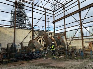
Skymatics were requested to survey the existing infrastructure at one of the shaft locations that is due to be dewatered at South Crofty Mine. Steeped in history, it was awesome to be involved in such an interesting project. We were tasked to provide accurate point cloud data and imagery of the existing Headframe and Winder buildings.
THE SOLUTION.
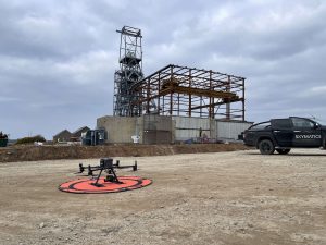
We’d previously visited the site a few months before, at the start of the enabling works. Completing a drone survey of the entire site. Supplying the client with an up-to-date aerial image and digital surface model. An initial visit for this new phase of work allowed us to install a survey control network around the perimeter of the structures. It also gave us the opportunity to complete a recce of the site, forming a plan of how to best capture the Winder buildings and Headframe.
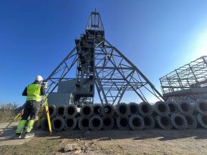
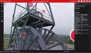
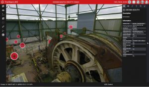
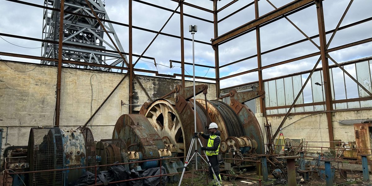
The Headframe stands at circa 40m tall. It has a stair access to the top with numerous platforms that span across the structure. A spiders web of steel. Our approach was going to be a combination of sensors. Primarily using ground based laser scanning with our Leica RTC360. This would capture the internal buildings, the steel work inside the body of the headframe and the building elevations. Basically, it would be used to capture the majority of the data required.
The only data missing from using a ground based laser scanner would be the very top of the headframe, where access was prohibited. But also potentially the roof to each winder building. We deployed our survey drone, the DJI M300 with 45 megapixel high resolution camera. Knowing this would complete the missing pieces of the jigsaw. Capturing every remaining point from the sky.
THE RESULTS.
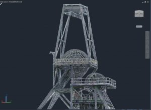
After three full days of scanning and drone flights, we were confident the data capture for this project was complete. Hundreds of scan positions needed to be registered, and hundreds more geotagged high resolution images needed to aligned and processed into accurate, quality data. Finally, combining both Lidar and photogrammetry data sets to produce a point cloud that we were proud to deliver to the client.
The deliverable was also hosted on our enterprise level management platform Cyclone Enterprise. Powered in the background by our Virtual Machine. Cyclone Enterprise is a user-managed, on-premise project and data management solution for Reality Capture specialists. Allowing the client to share a secure link to their job site for project stakeholders, management, team members, design teams etc. without the need for sending gigabytes of project data.
If you’re interested in the work we’ve completed or the services we provide, then please get in contact with us at hello@skymatics.co.uk
